Table of Contents
- Introduction
Case Studies
- Introduction
- Ed Roberts Campus
- Gallaudet University 6th Street Development
- Skyler
- Black Women Build
- New Swampscott High School and Senior Center
- Las Abuelitas Kinship Housing
- Side by Side
- Disability × Maternity: A Household User’s Manual for Young Mothers with Disability
- Carehaus
- 11th Street Bridge Park
- North Philly Peace Park
- Table Top Apartments
Aging Against the Machine
Block Party: From Independent Living to Disability Communalism
Decolonizing Suburbia
Re:Play Reclaiming the Commons through Play
About the Reading Room
Neighborhood Map
< Return to Berkeley: Ground Zero for the Independent Living Movement

Visual Description
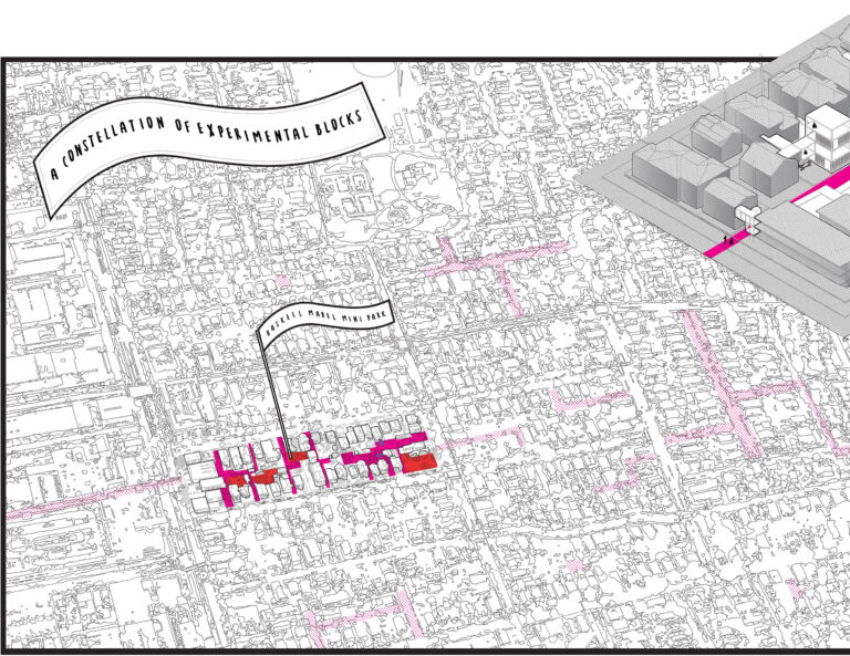
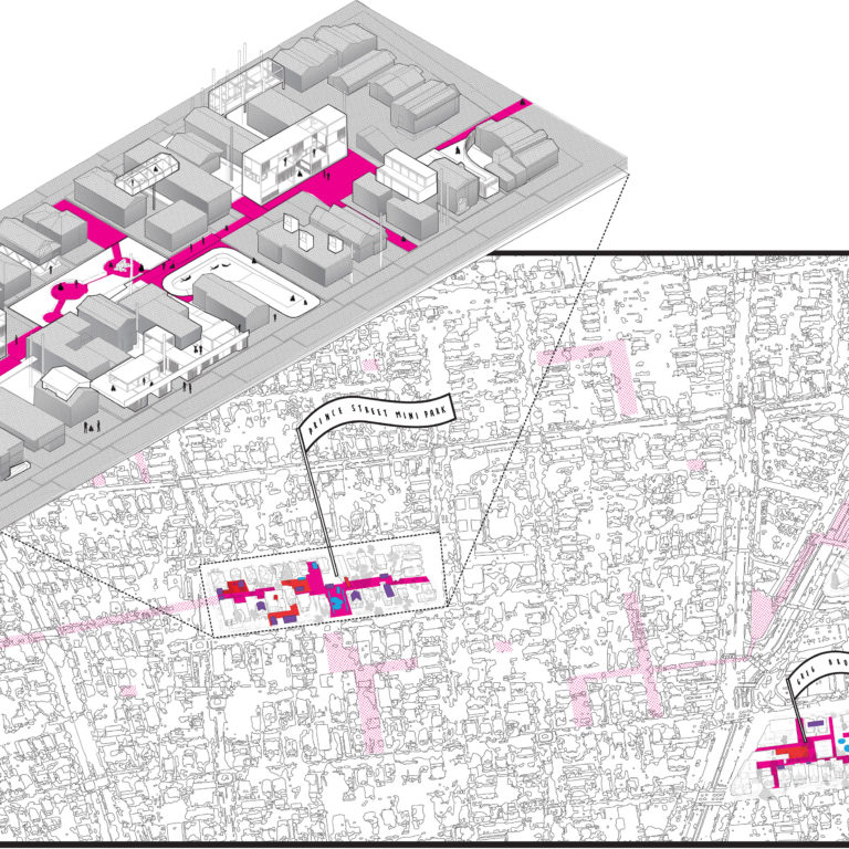
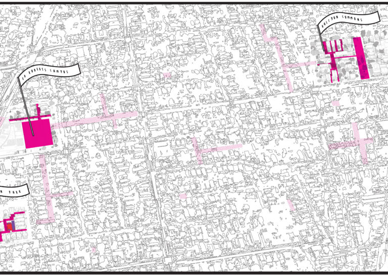
An illustration of an aerial neighborhood map, with a title caption reading “A Constellation of Experimental Blocks.” Six flags with title text identify different neighborhood blocks within the map, reading from left to right, “Haskell Mabel Mini Park,” “Prince Street Mini Park,” “Ed Roberts Campus,” “Greg Brown Park,” “Halycon Commons,” and “Bateman Mall Park.” In the center, an axonometric plan hovers above the “Prince Street Mini Park” section of the map. Within the axonometric plan, figures walking and using wheelchairs navigate different types of residential structures connected by a bright pink pathway. Throughout the map, abstracted structures and street blocks are depicted in black and white, with bright pink and red zones gathering beneath the title flags and some streets further afield shaded in a lighter pink.

Visual Description
Zoomed in on the left most square portion of the neighborhood map. The title caption reads “A Constellation of Experimental Blocks.” A flag with the text reading “Haskell Mabel Mini Park” identifies a section of the map highlighted in red and pink. The buildings and shapes of the map are illustrated in an abstracted style in black and white, with certain areas defined by bright pink and red. Some streets further afield are shaded in a lighter pink.

Visual Description
Zoomed in on a square section slightly left of the neighborhood map’s center, an axonometric plan hovers above the “Prince Street Mini Park” section of the map, enlarging that section. Within the axonometric plan, figures standing and using wheelchairs navigate different types of residential structures connected by a bright pink pathway. Some streets further afield are shaded in a lighter pink.

Visual Description
Zoomed in on the square section slightly right of the neighborhood map’s center, two flags identify different sections of the map. The text on the left most flag reads “Ed Roberts Campus” and the right most flag reads “Halycon Commons,” with their respective zones demarcated by bright pink shapes and outlines. Some streets further afield are shaded in a lighter pink.

Visual Description
Zoomed in on the far right square section of the neighborhood map, two flags identify different sections. The text on the left most flag reads “Halycon Commons” and the right most flag reads “Bateman Mall Park,” with their respective sections demarcated by bright pink rectangles. In the center of the square, one larger thoroughfare street runs vertically through the map section. Some streets further afield are shaded in a lighter pink.